Norway is a country dictated by the harsh expansive wilderness, spread over an area almost the size of Japan with a relatively low population of almost 5 million people. The area is deeply cut by the long, narrow inlets of fjords and dominated by a mountainous terrain containing some of the world's largest glaciers, making only 3% of the entire country arable for cultivation. Historically, Norway has been mired in poverty, dependent on the export of natural resources (fishing, whaling & timber), without developing urbanization, and in political subjection to it's Scandinavian neighbors. The Norwegian people, isolated and callous, worked through the impossible extremes of nature, developing a symbiotic relationship with the surrounding environment and created a nationalistic attitude for the future. By the end of the 19th century, Norway saw a new level of independence with the introduction of a parliamentary government leading to peaceful secession from Sweden in 1905.
“The nature of Norway is nature untamed by cultivation. Here in Norway nature is the norm, whereas in many other places it is the cultivated land that people take for granted.”

A stave church near Oslo, dating back to the year 1200.
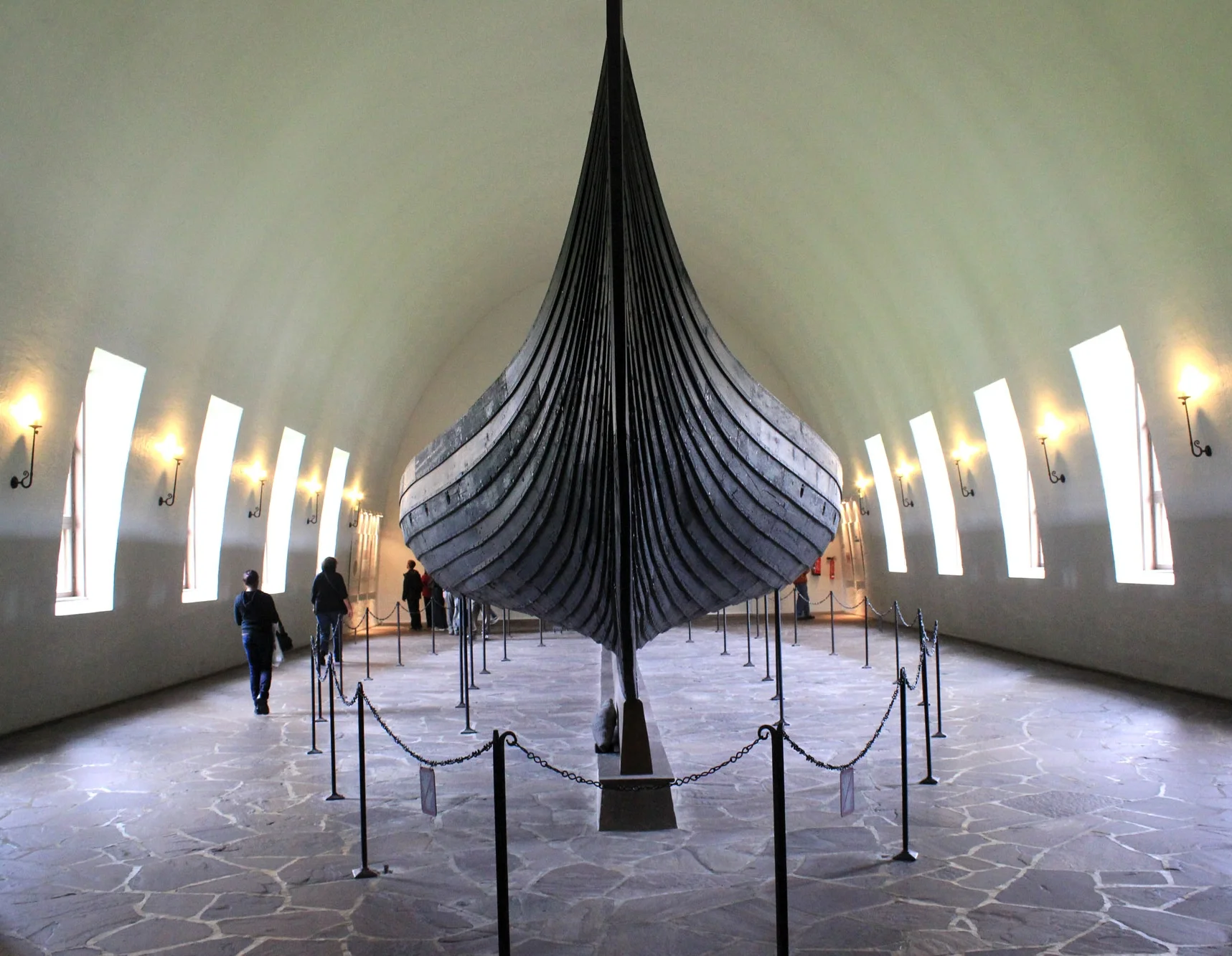
The Viking ship, Oseberg, dating back to 834 AD
Although considered small on the global spectrum, with a population of around one million people, the modern city of Oslo dominates the Norwegian landscape as the capital and most populous city in Norway. Without the grandeur of many larger European capitals, Oslo offers spacious park areas and forests, all within sight and sound of the sea, creating a level of connection to the surrounding context rarely seen in a modern city. Originally created as a fjord settlement during the Viking age, Oslo would not become a capital city until the 17th century, following a disastrous fire and while under Danish rule. The rebuilt capital city would be renamed Christiana, after the Danish King Christian IV, until 1905 when Norway broke with Sweden, reinstating the traditional name of Oslo twenty years later.

View of tram line in front of Oslo Central Station and Jernbanetorget (The Railway Square)

Karl Johans Gate, Oslo's main street and pedestrian area

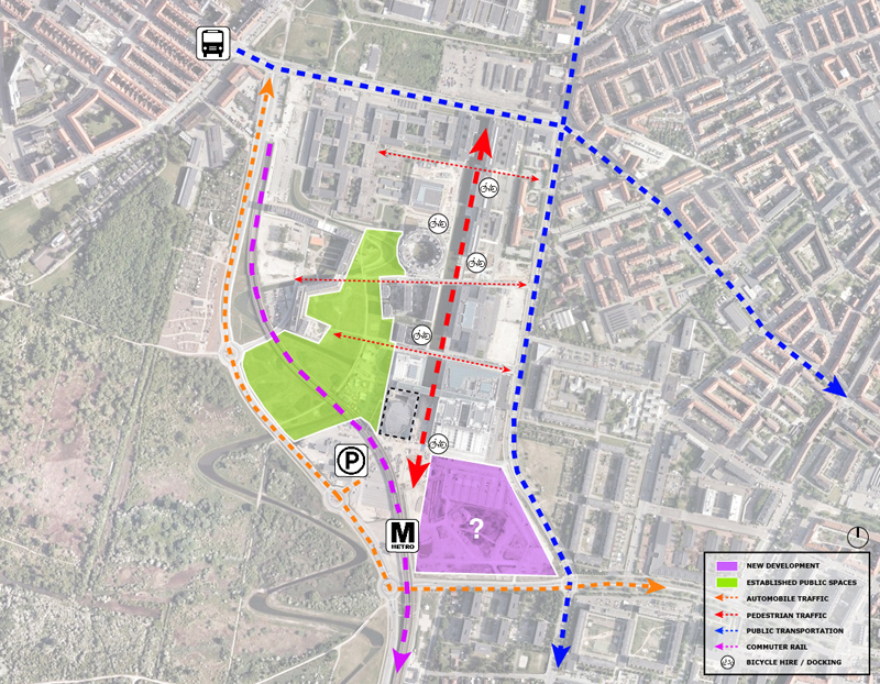
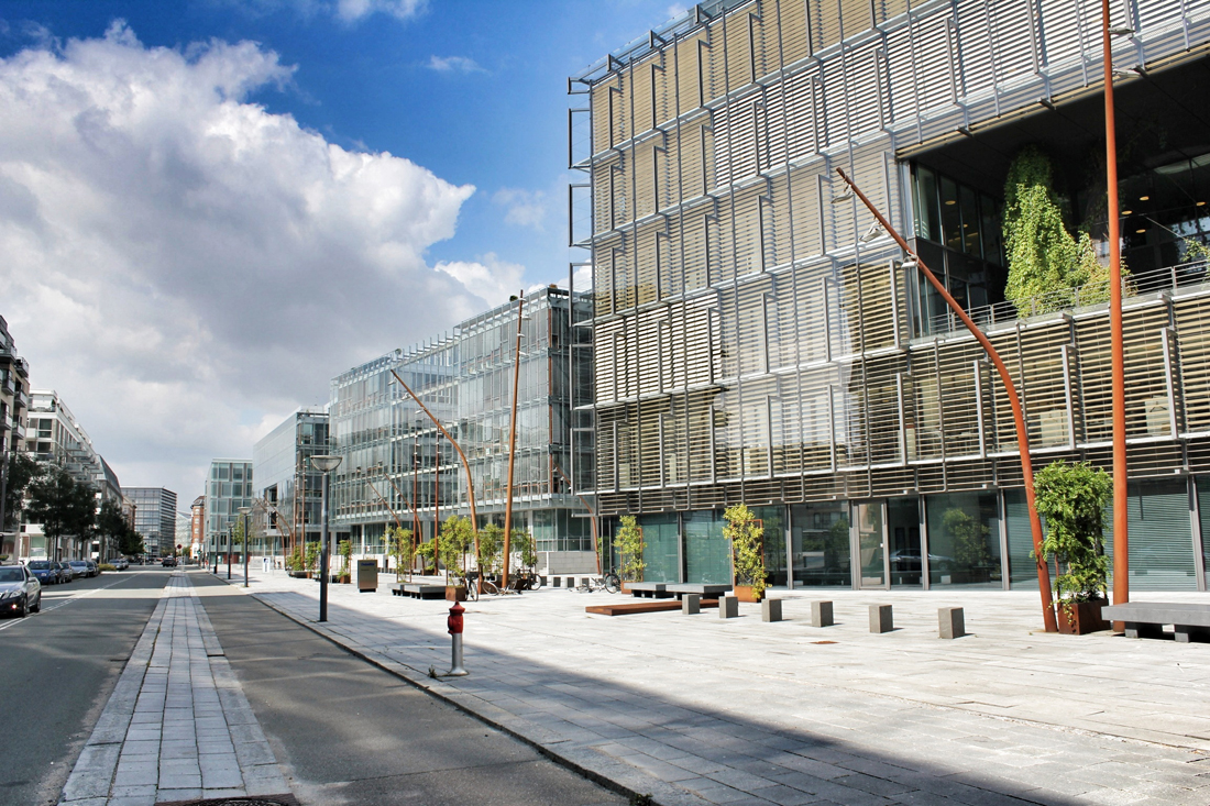
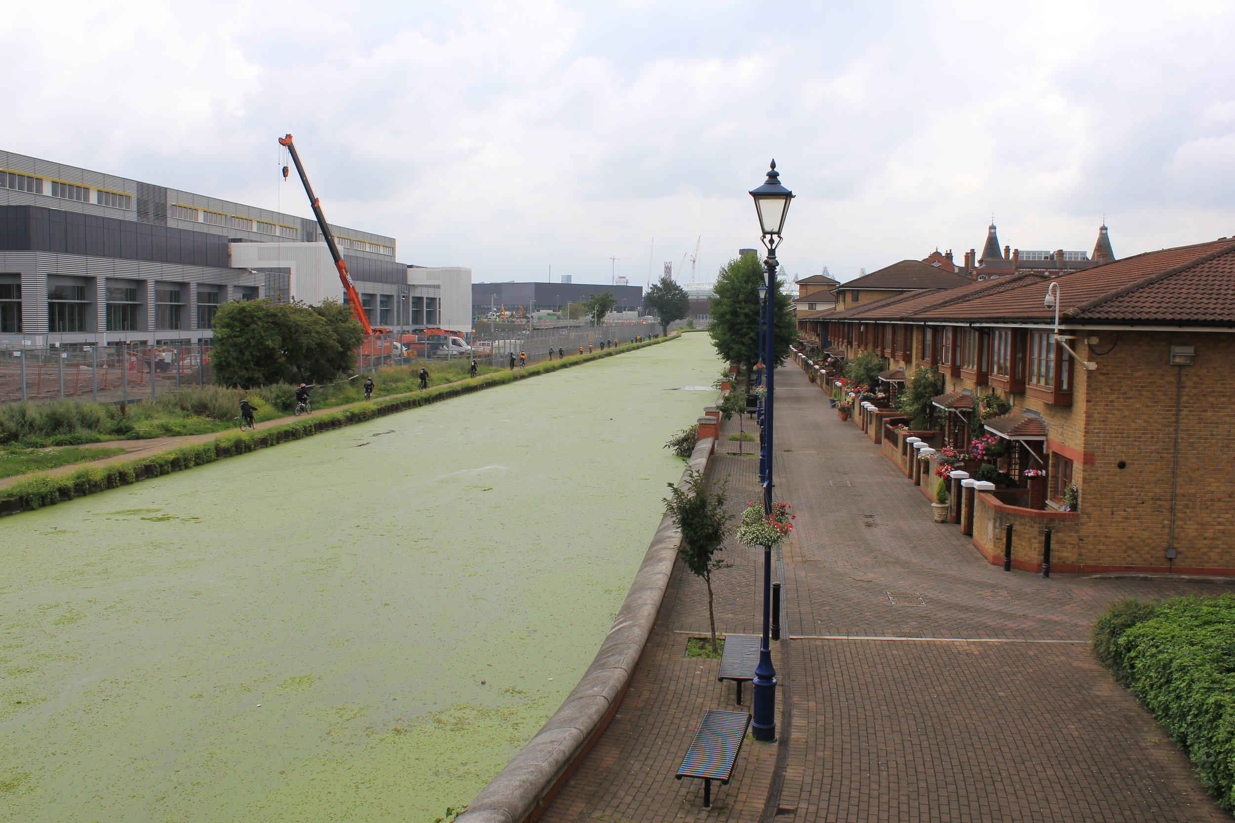
New residential and commerical developments on Aker Brygge, an old industrial pier
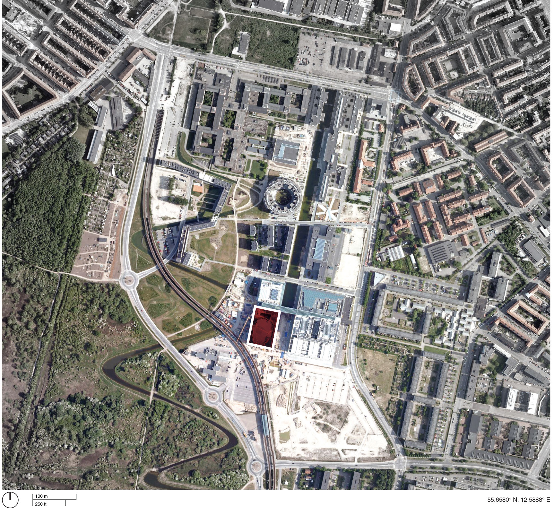
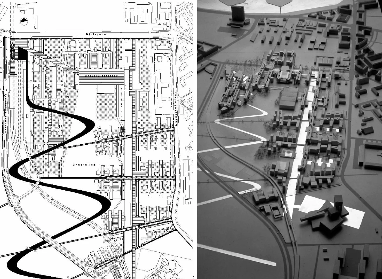
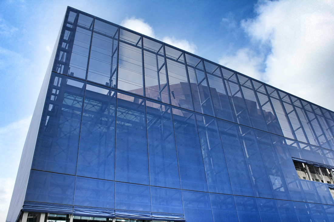
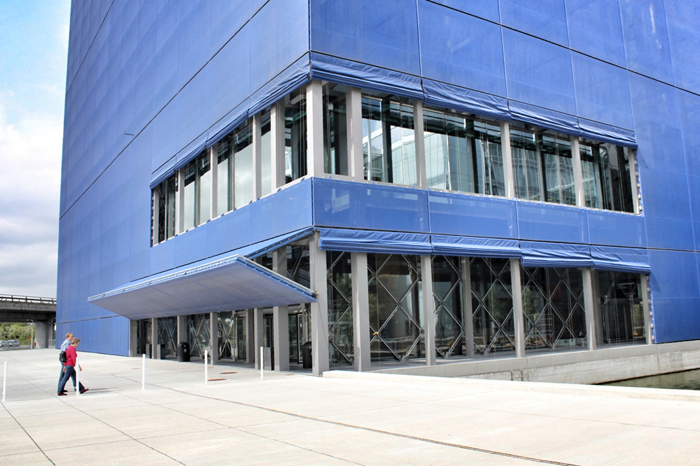
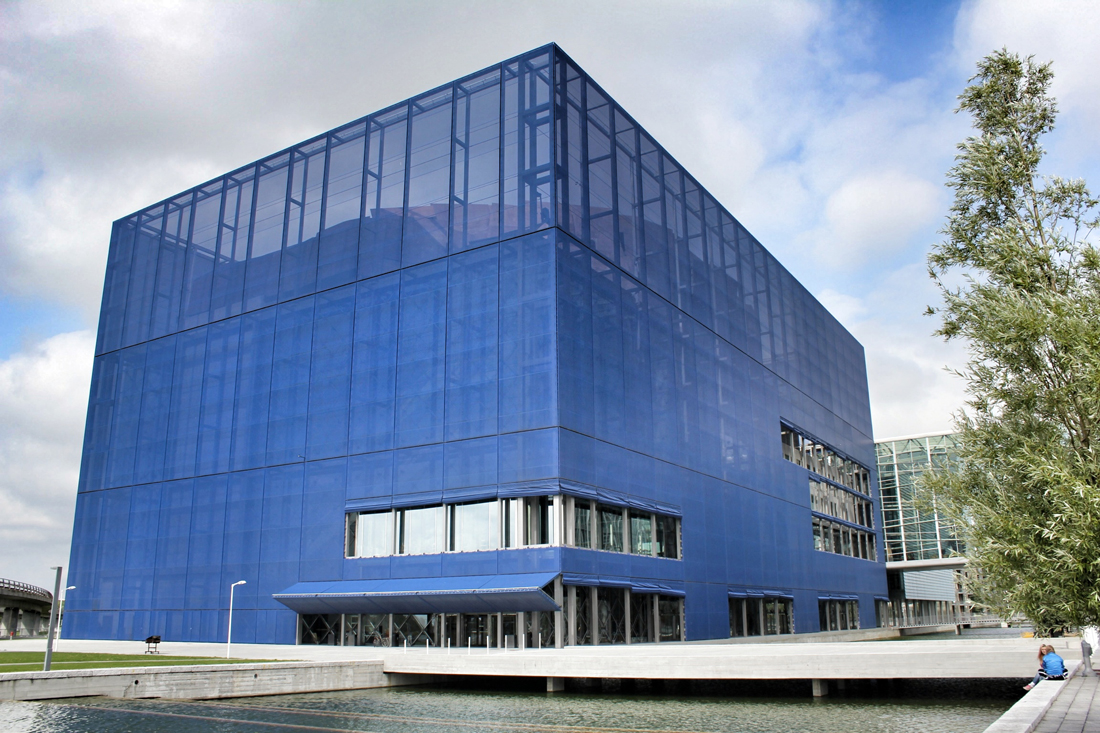
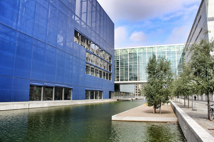
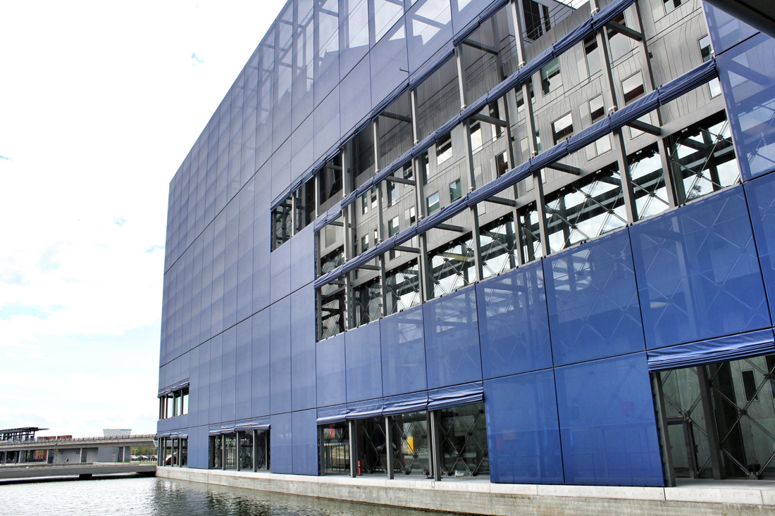
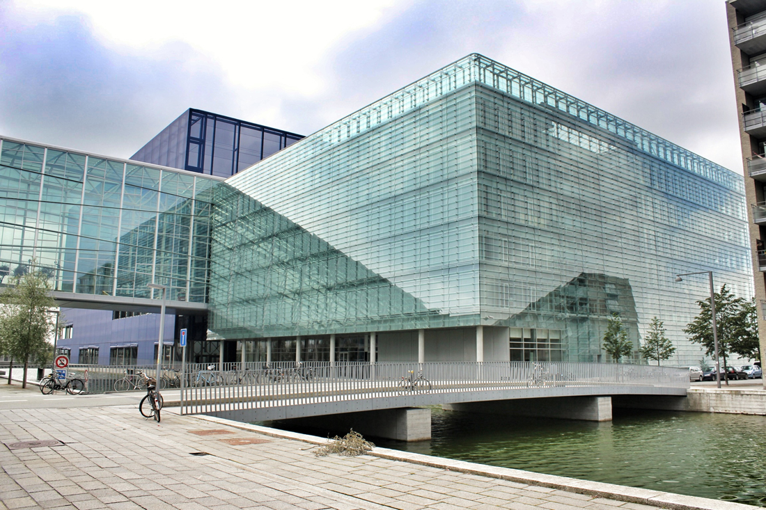
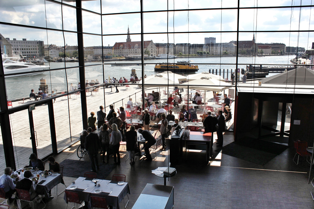
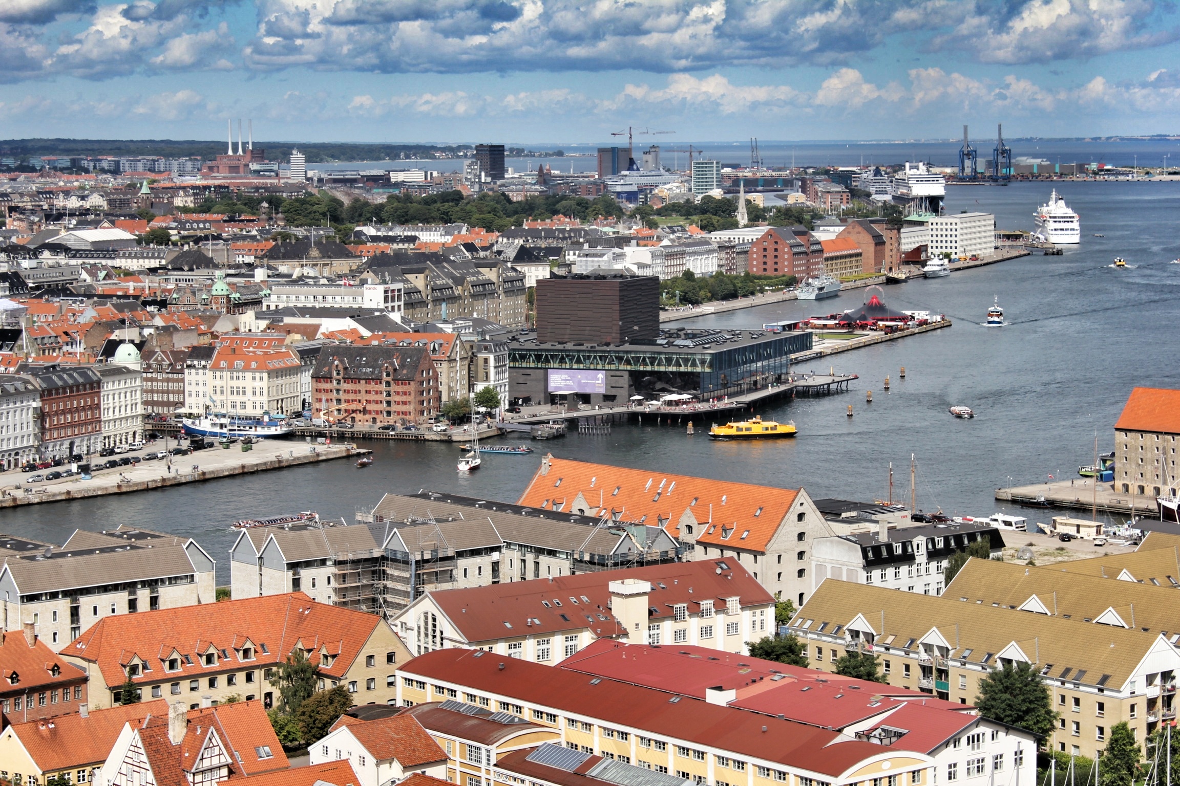
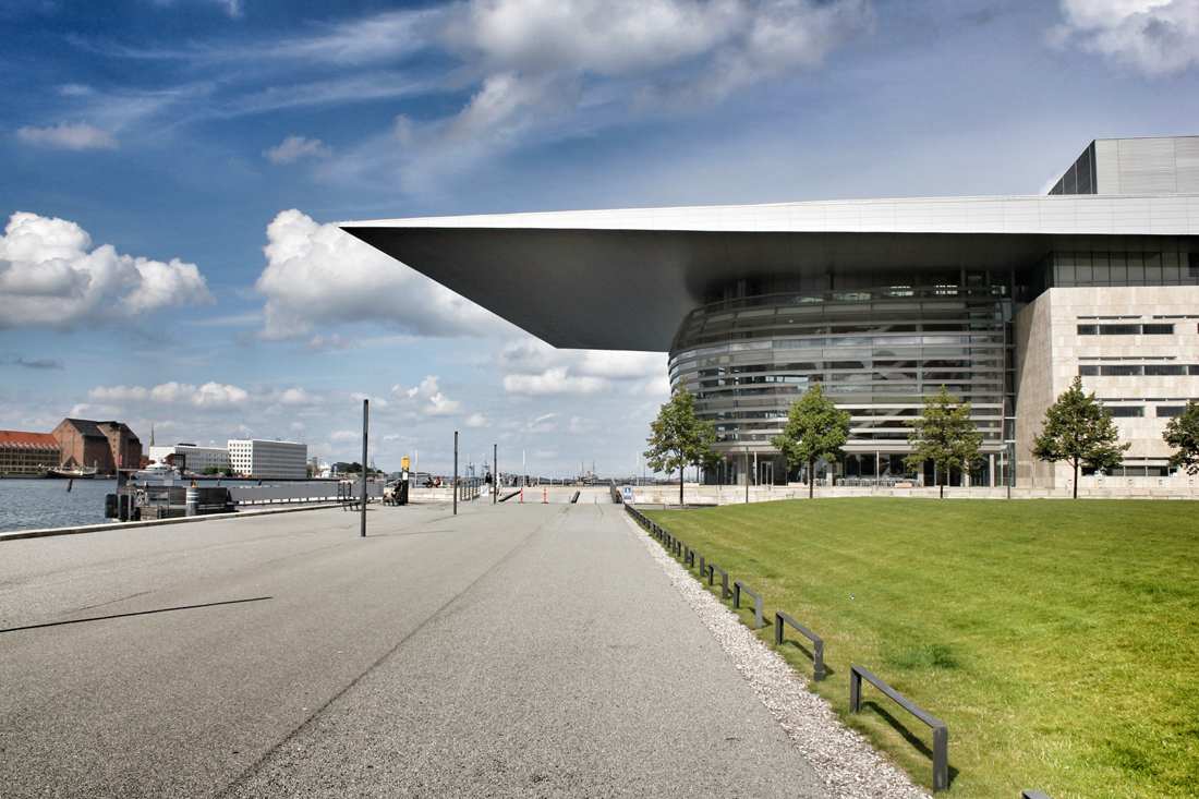
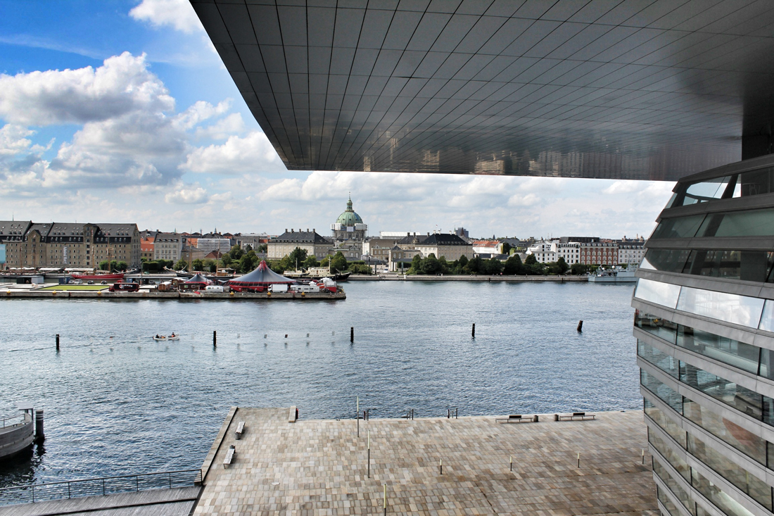
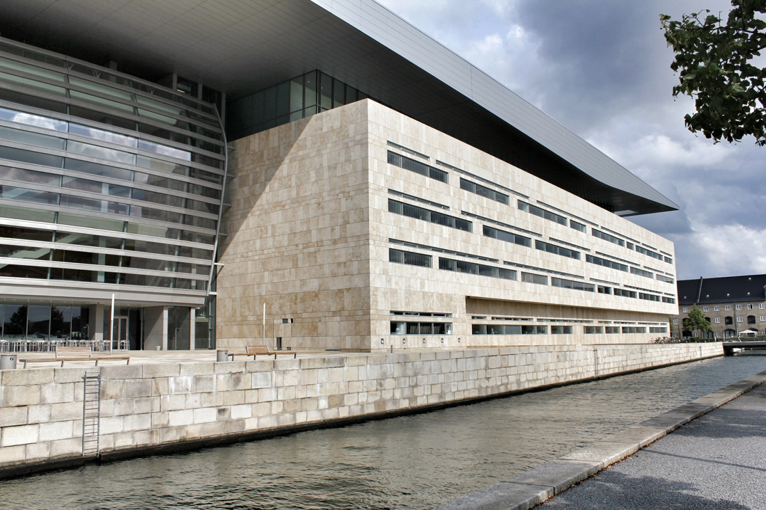
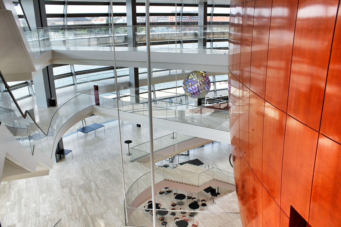
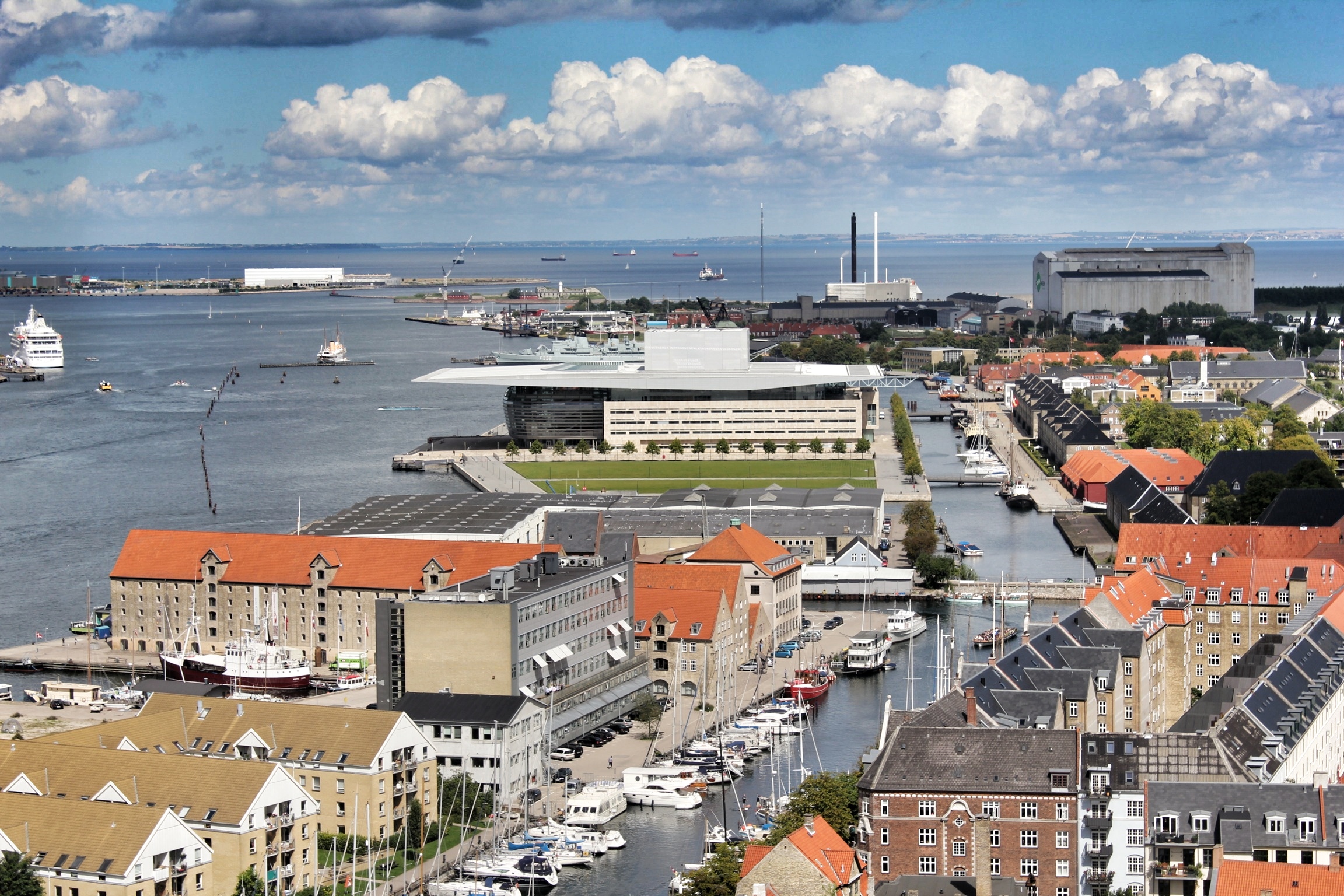
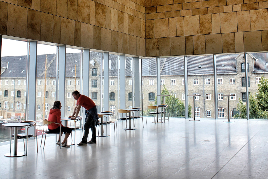
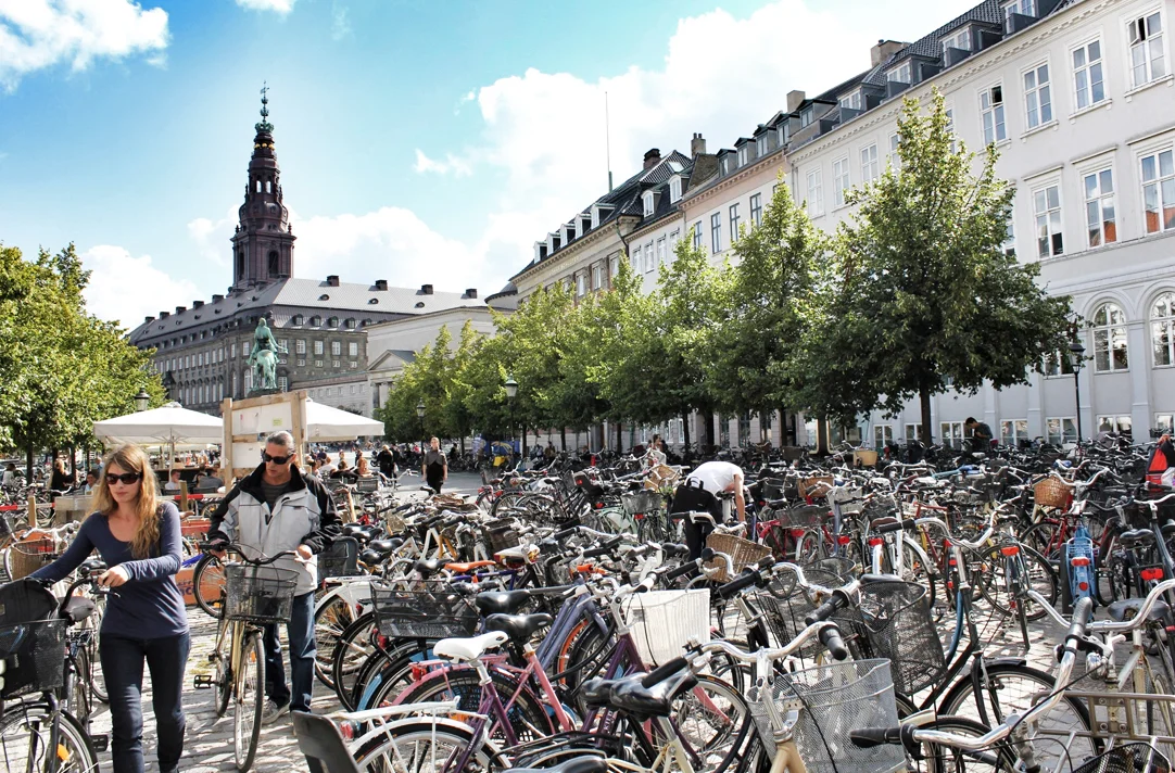
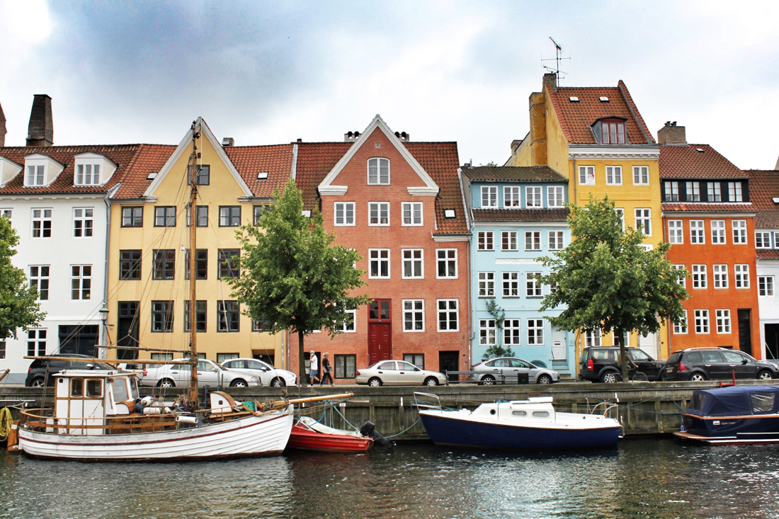
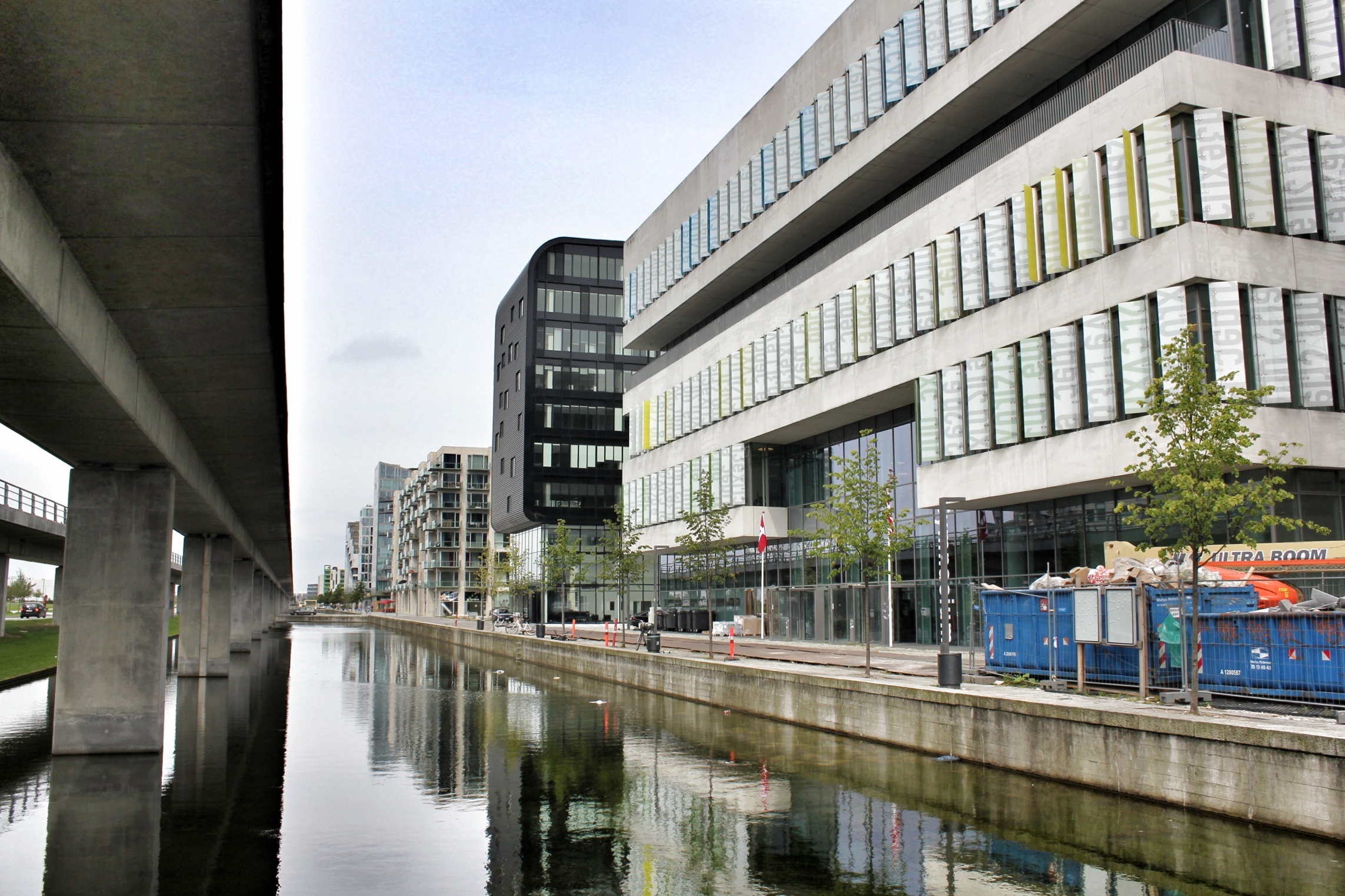
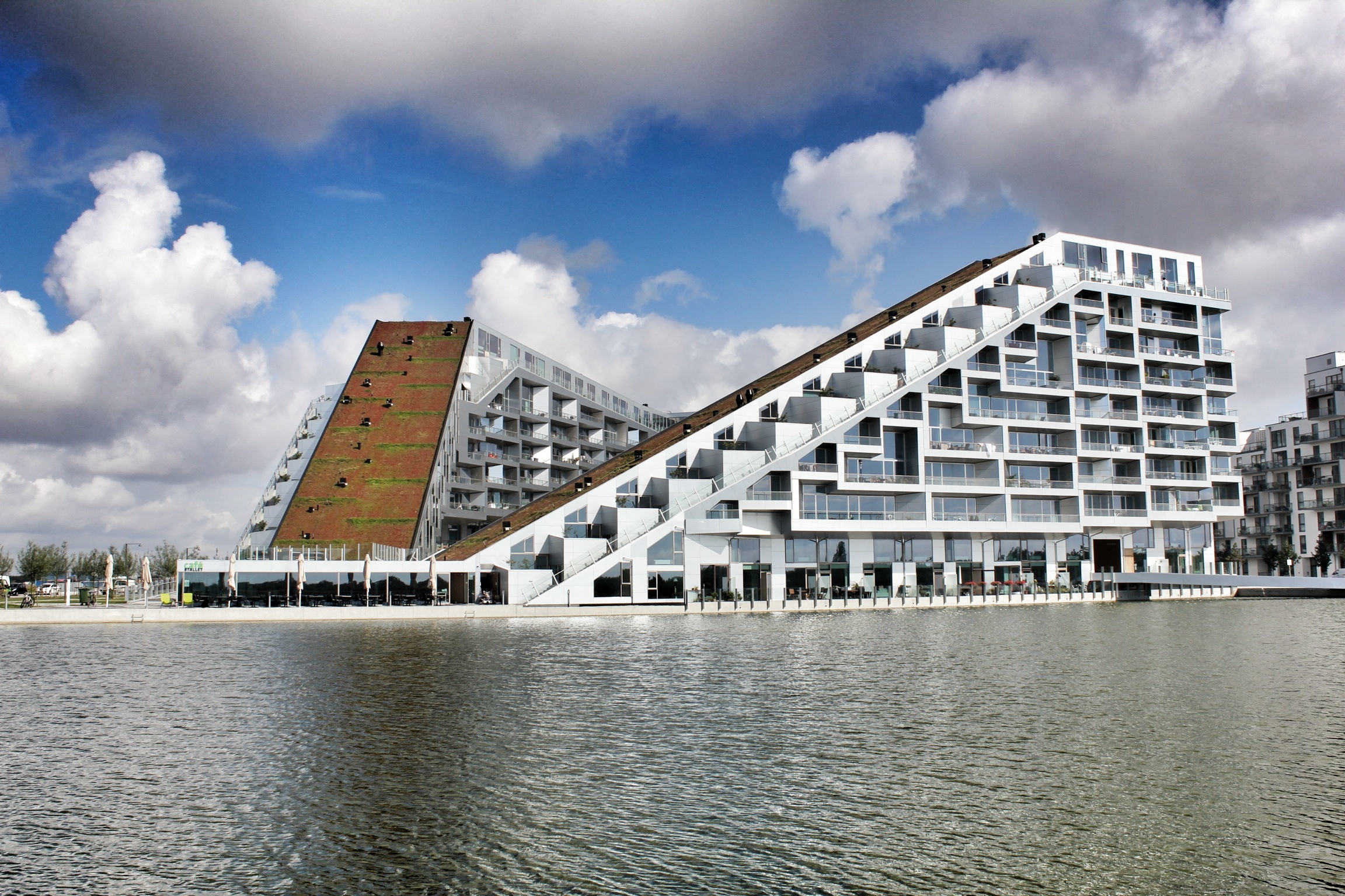
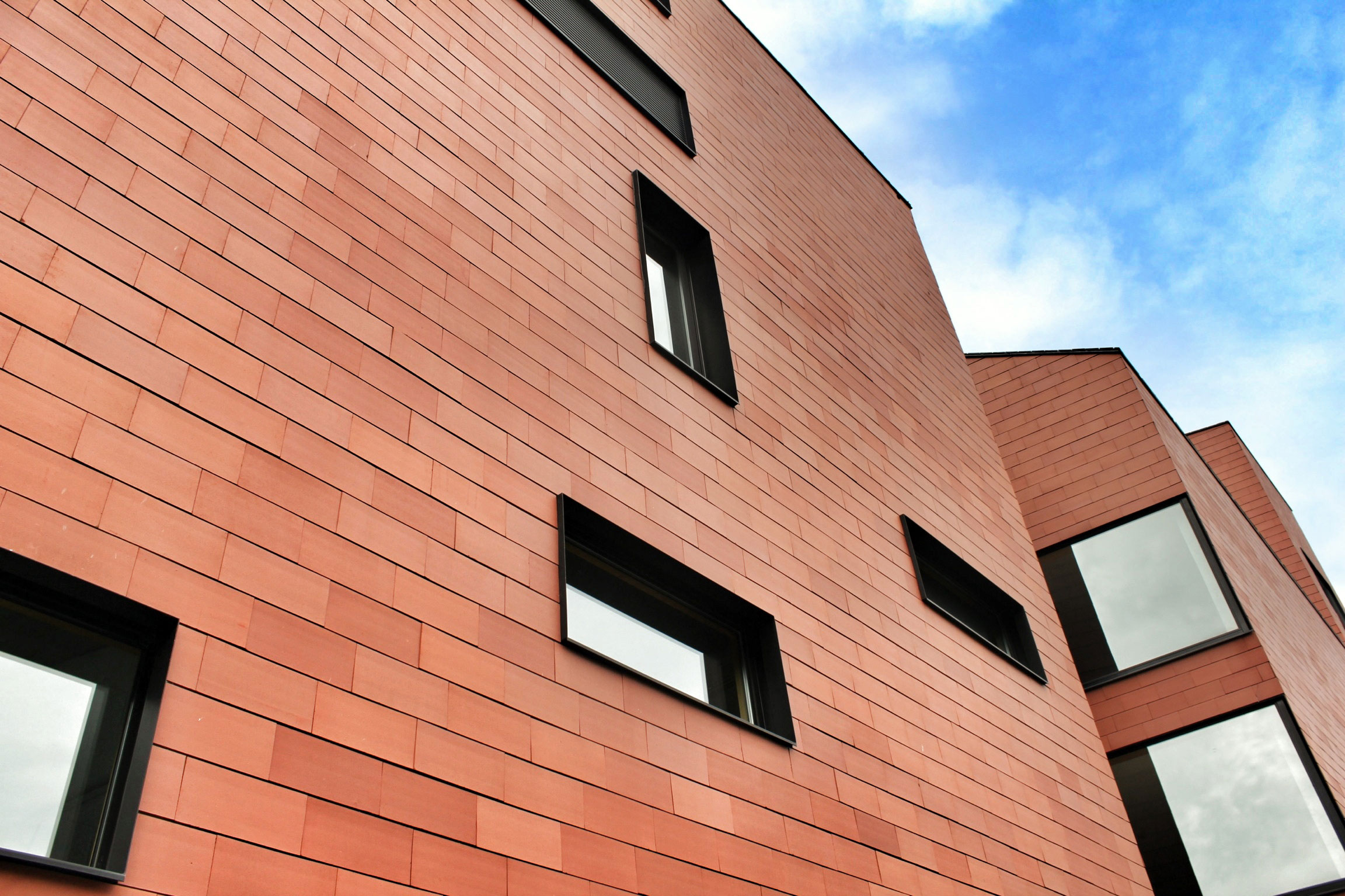
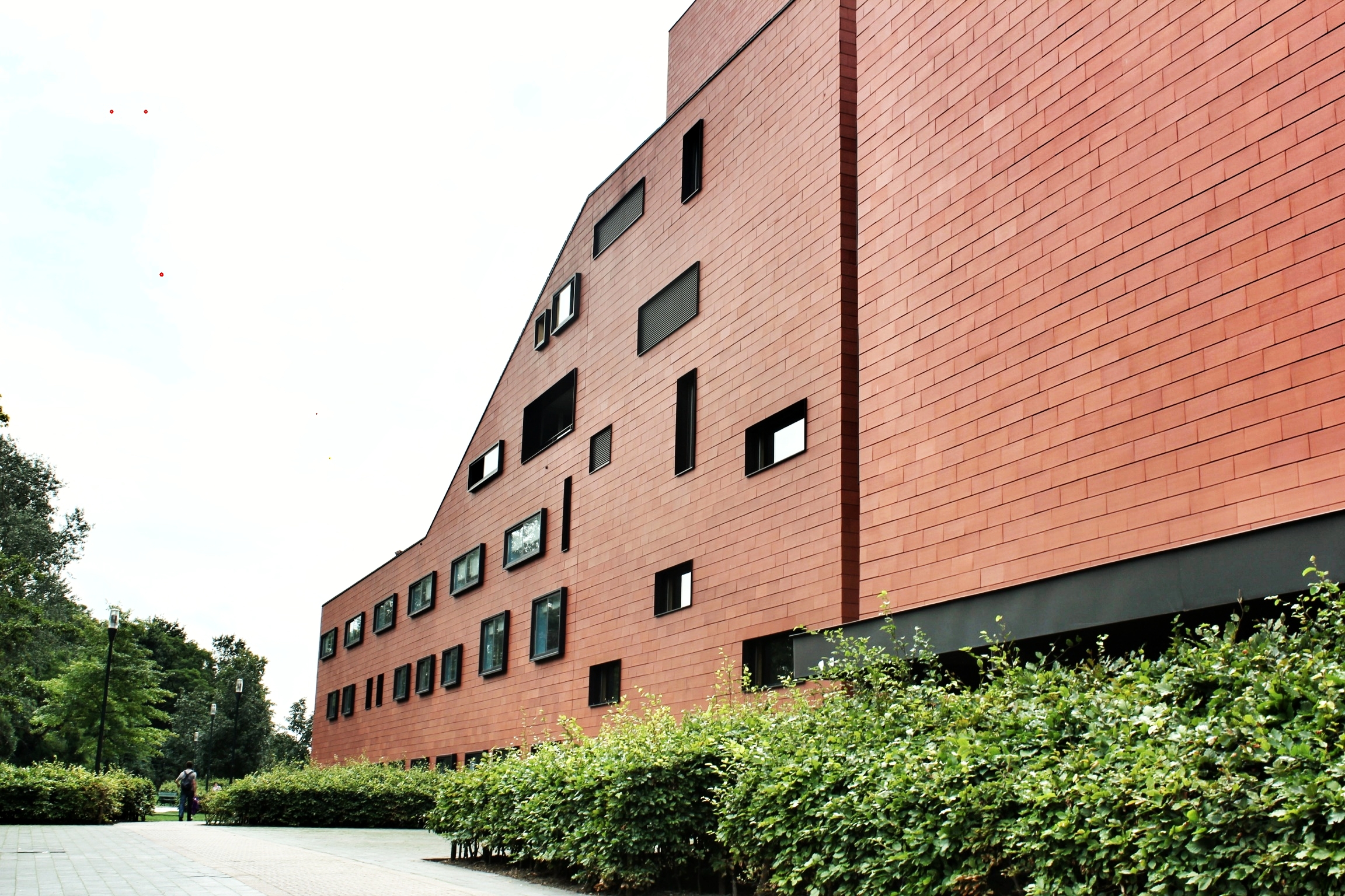
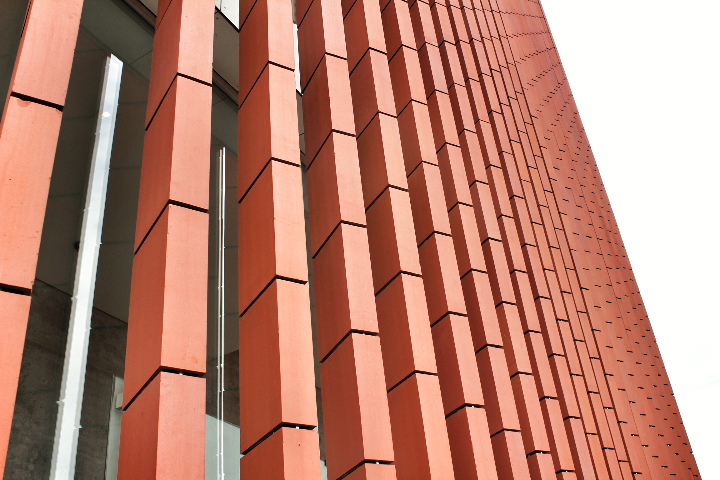
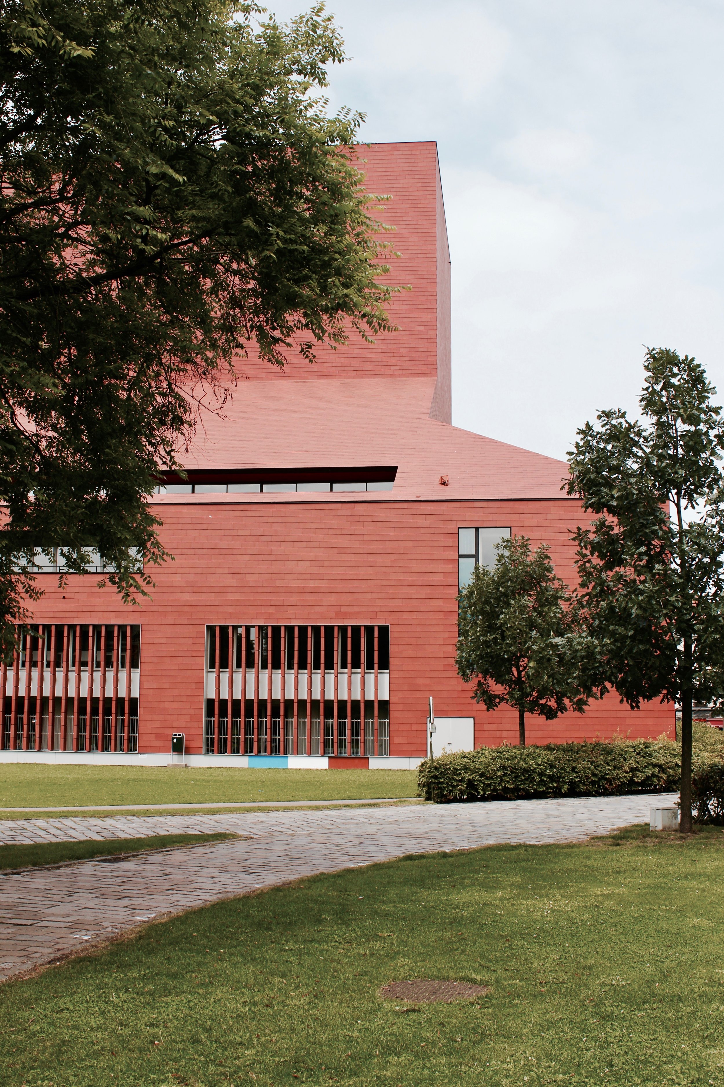
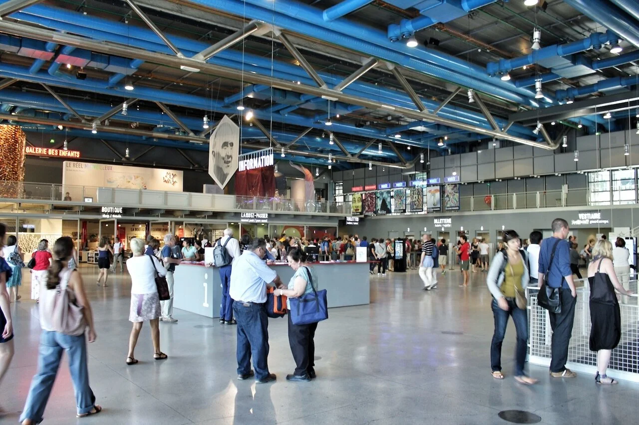
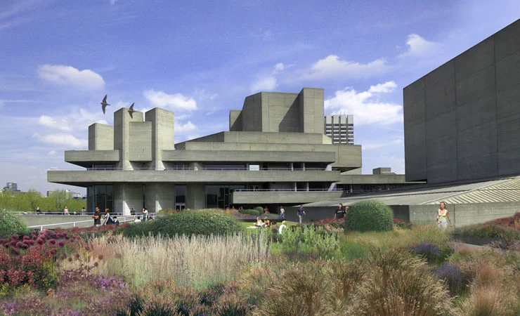
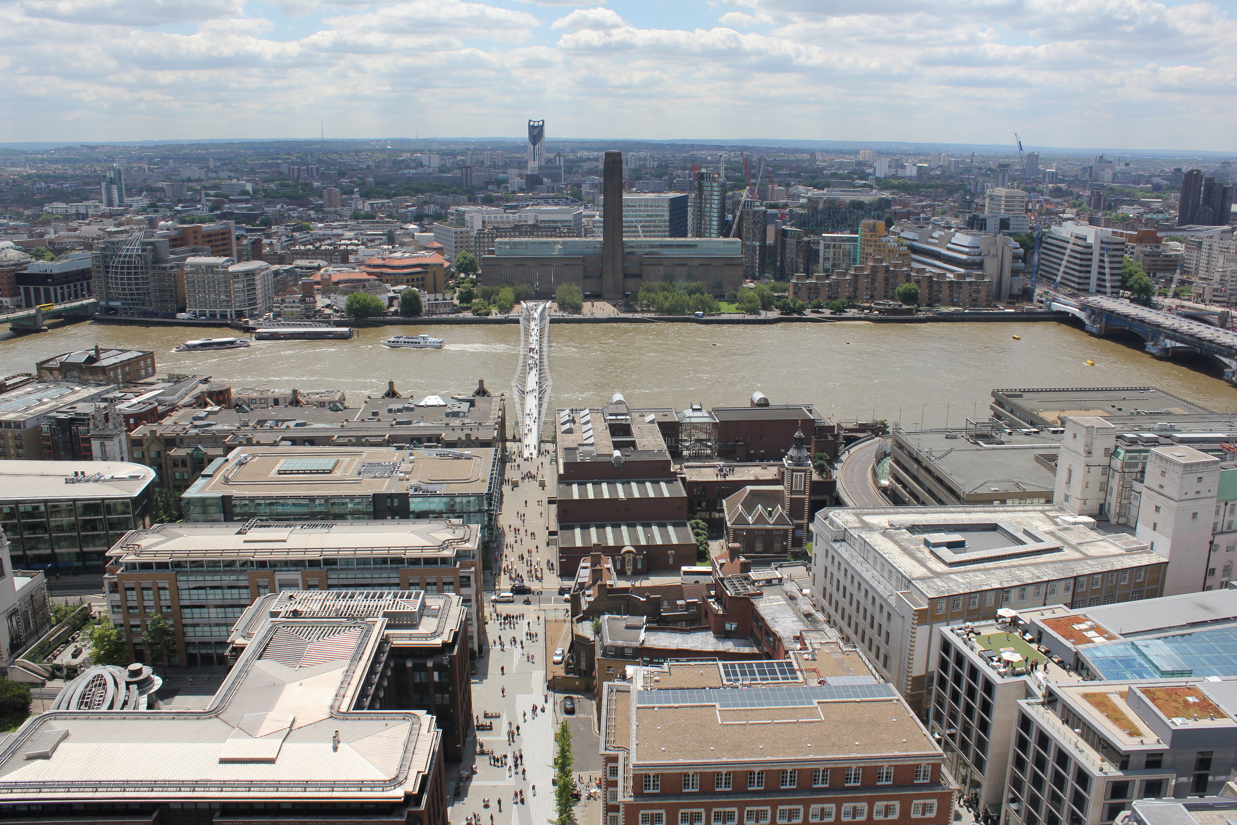
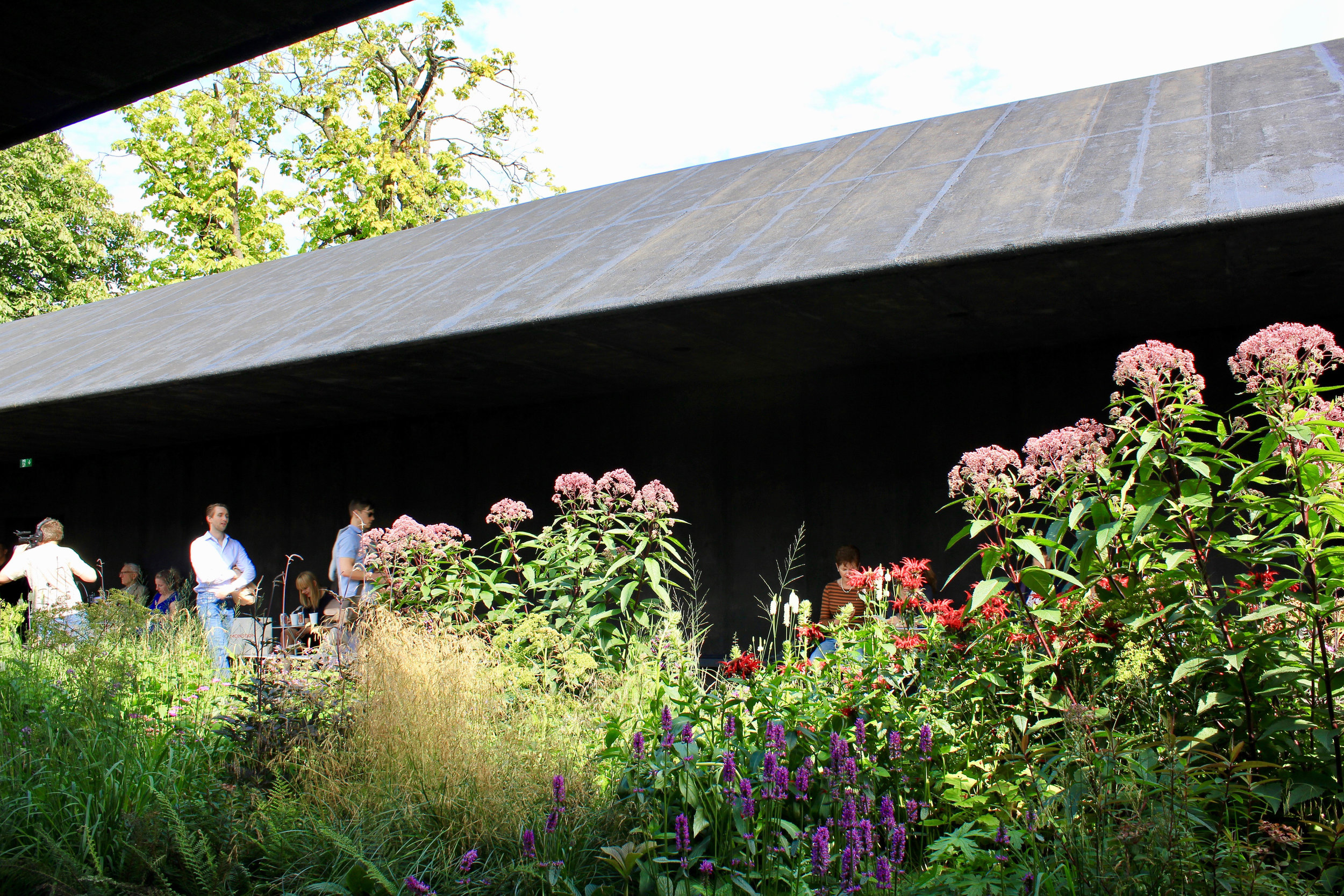
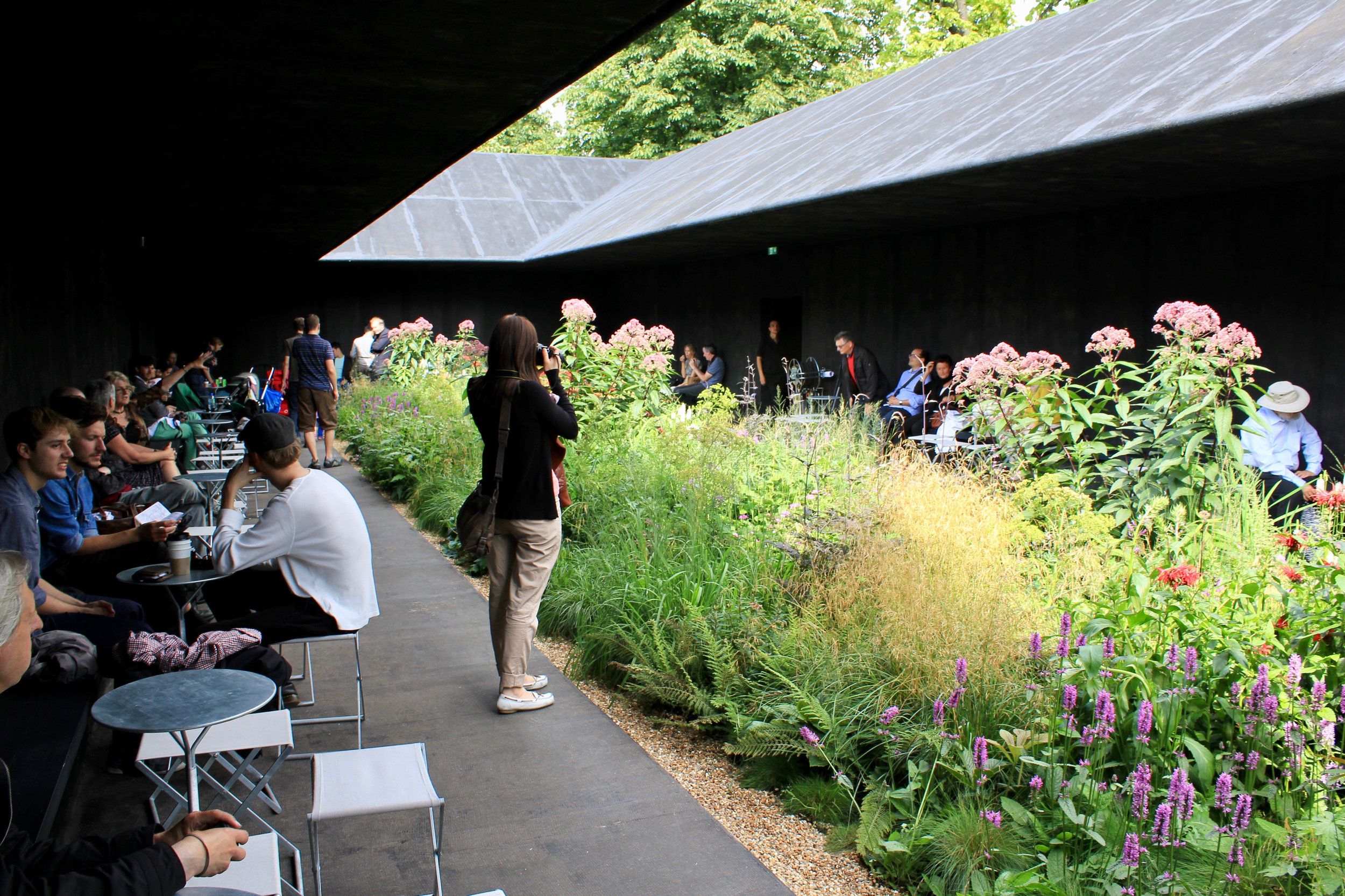
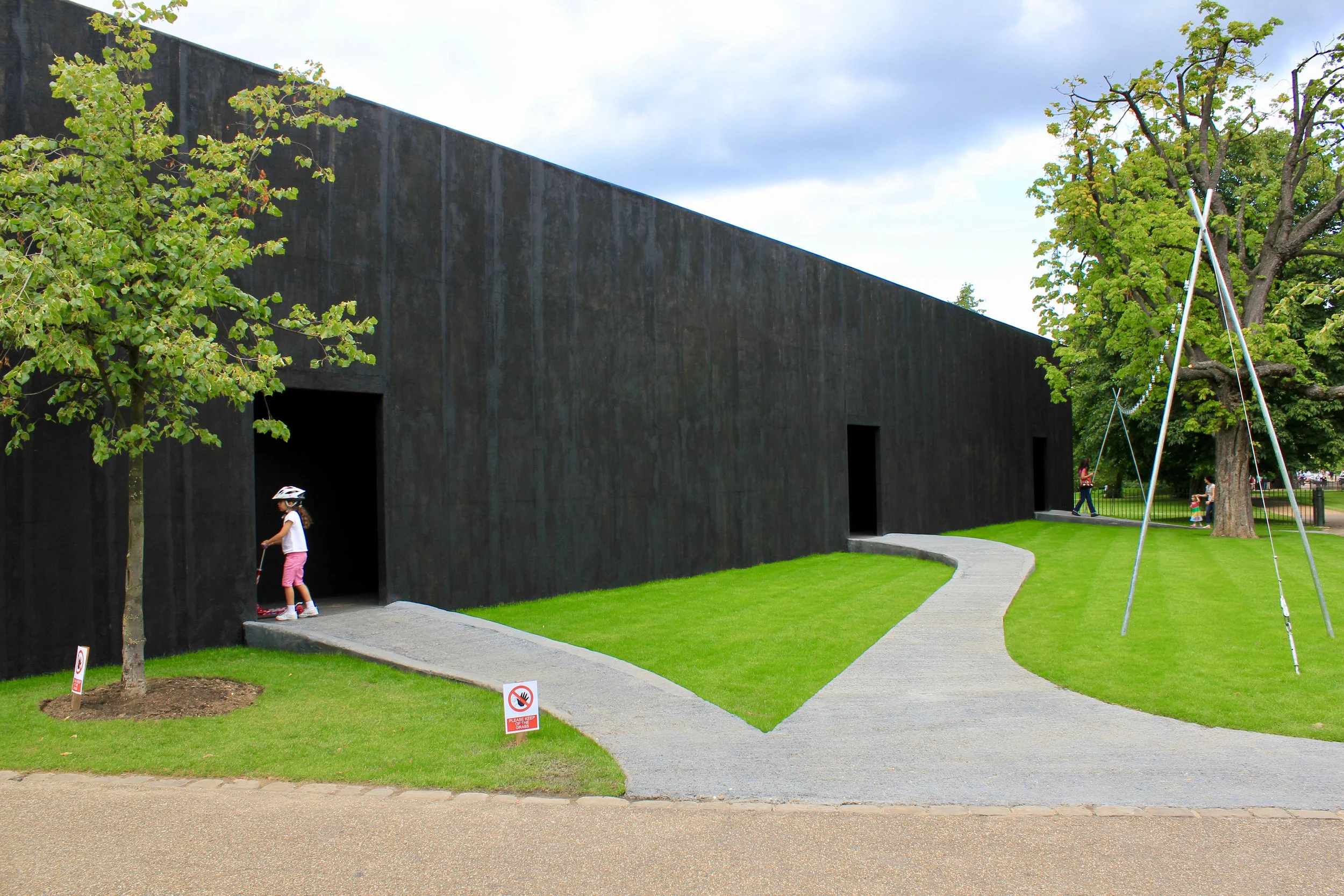
Considered one of the most expensive cities in the world, Oslo has gone through a rapid modernization in the past 50 years. Building from a profitable timber trade of last century, Norway has invested heavily into the oil industry, developing a national wealth that has created the internationalization of Norwegian culture and a growing Norwegian self-confidence that has transformed Oslo into the fastest growing city in Europe. New cultural, residential and commercial development projects are now seen going up throughout the city, especially around the once diminishing harbor area. A chance for the once struggling nation to embrace recent financial success and intuitive contextural relationships, creating a new urban form.

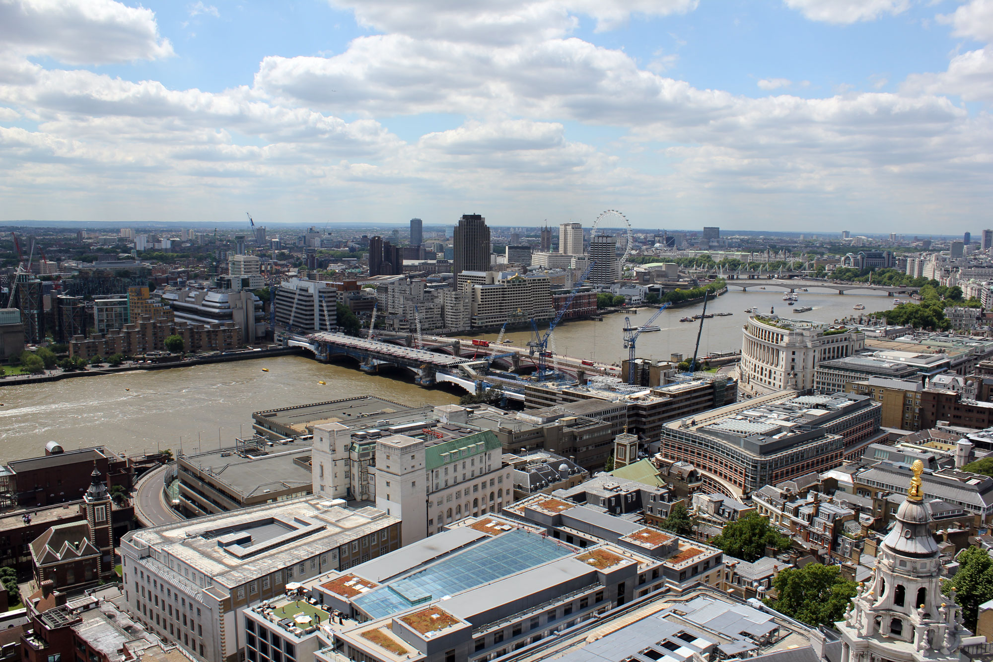
View of Oslo Harbour, Aker Brygge in the distance

The Radhus (Oslo Town Hall) near Oslo Harbour